Charts
Here you can find charts that can be used with some of the sea areas that are included with Bridge Command.
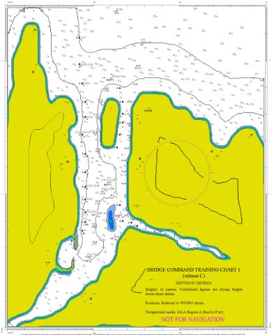
Simple Estuary
This is an imaginary area, which includes a buoyed estuary, using the IALA Region A buoyage conventions.
Click on the chart thumbnail above to load at full size
Tide tables are included in the documentation distributed with Bridge Command.
Electronic chart (BSB format - right click to download)
Santa Catalina
The Santa Catalina sea area distributed with Bridge Command includes the buoys and land based lights around Santa Catalina island.
 Right click on the chart thumbnail above to download at full size
NOT FOR USE IN NAVIGATION

